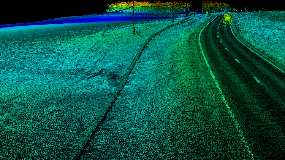
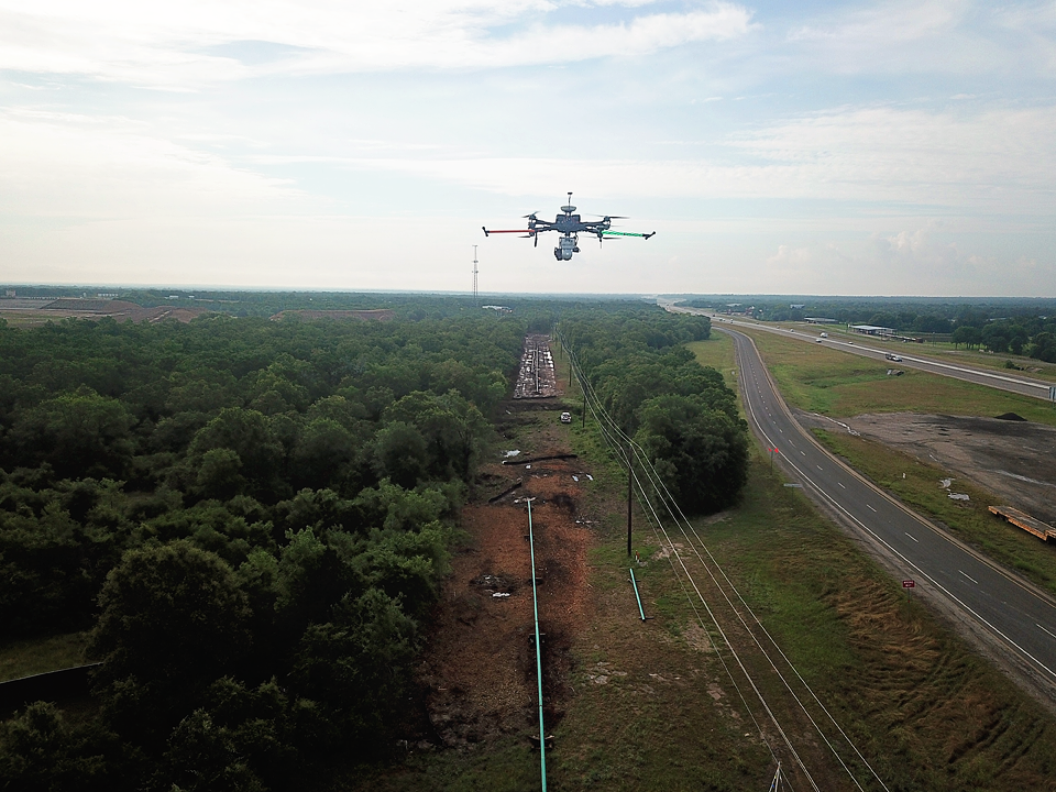
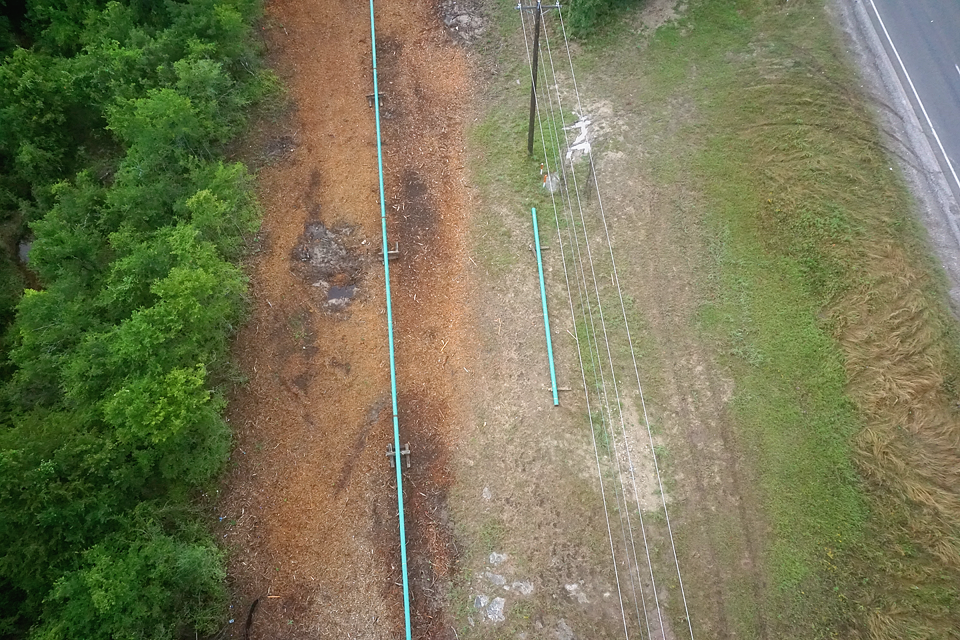
Our growing list of clients in the oil and gas sector are excited about the different data-sets we are able to collect and the many deliverable options we have available. Whether it be preliminary route surveys, as-built, inspection, leak detection, asset mapping or right-of-way monitoring, our team at McCord Geospatial Services has a solution. If we don’t have a solution that meets the client’s needs, we work hand in hand with the client to find a solution. We design and build our own unmanned platforms in-house, which allows us to customize each platform to meet our client’s needs. Often times, we collect LiDAR, infrared, still imagery and video simultaneously in one flight. Once the data reaches our office, our team of geospatial professionals utilizes our proprietary machine learning and AI techniques to produce actionable data for our clients in an efficient manner. In the end, our process improves integrity, mitigates risk and gives decision makers information faster than it’s ever been done before.


